


The Global MSP map I posted in the beginning of October 2014 ago has been updated based on input from Charles Ehler.
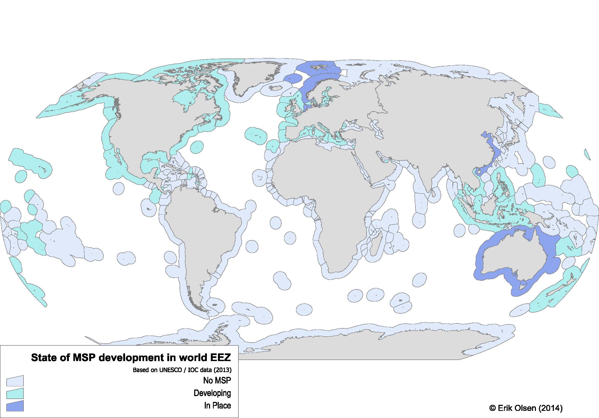
Figure 2 Global map of MSP developments. Data based on (Ehler 2014).
Specific changes:
Canada is categorized as “Developing” because only the Beaufort Sea has an “approved” management plan, which lacks funding for implementation. The Beaufort Sea plan is also not a spatial plan, since it calls for the development of a marine spatial plan for the Beaufort Sea. Similarly ESSIM has never been approved, nor has any other region of Canada. The Coastal First Nations in British Columbia are developing plans, that should be approved in 2015.
Alaska is categorized as “Developing” As they are developing plans, albeit not as part of the official US National Ocean Policy.
All EU Member States are categorized as “Developing” following the EU Directive on MSP that requires them to develop a “maritime spatial plan” by 2022.
Methods
For a full description of methods, see original blog post
References
Ehler CN (2014) A guide to evaluating marine spatial plans. UNESCO, IOC Manuals and Guides, 70; ICAM Dossier 8, Paris, 98pp